Guide
Driving Ruta 40 from Salta to Cafayate
The classic Northwest stretch of Argentina's longest road — Cuesta del Obispo, Cachi, the gravel through Molinos and Angastaco, and the descent into the vineyards.
By Visit NOA Editors ·
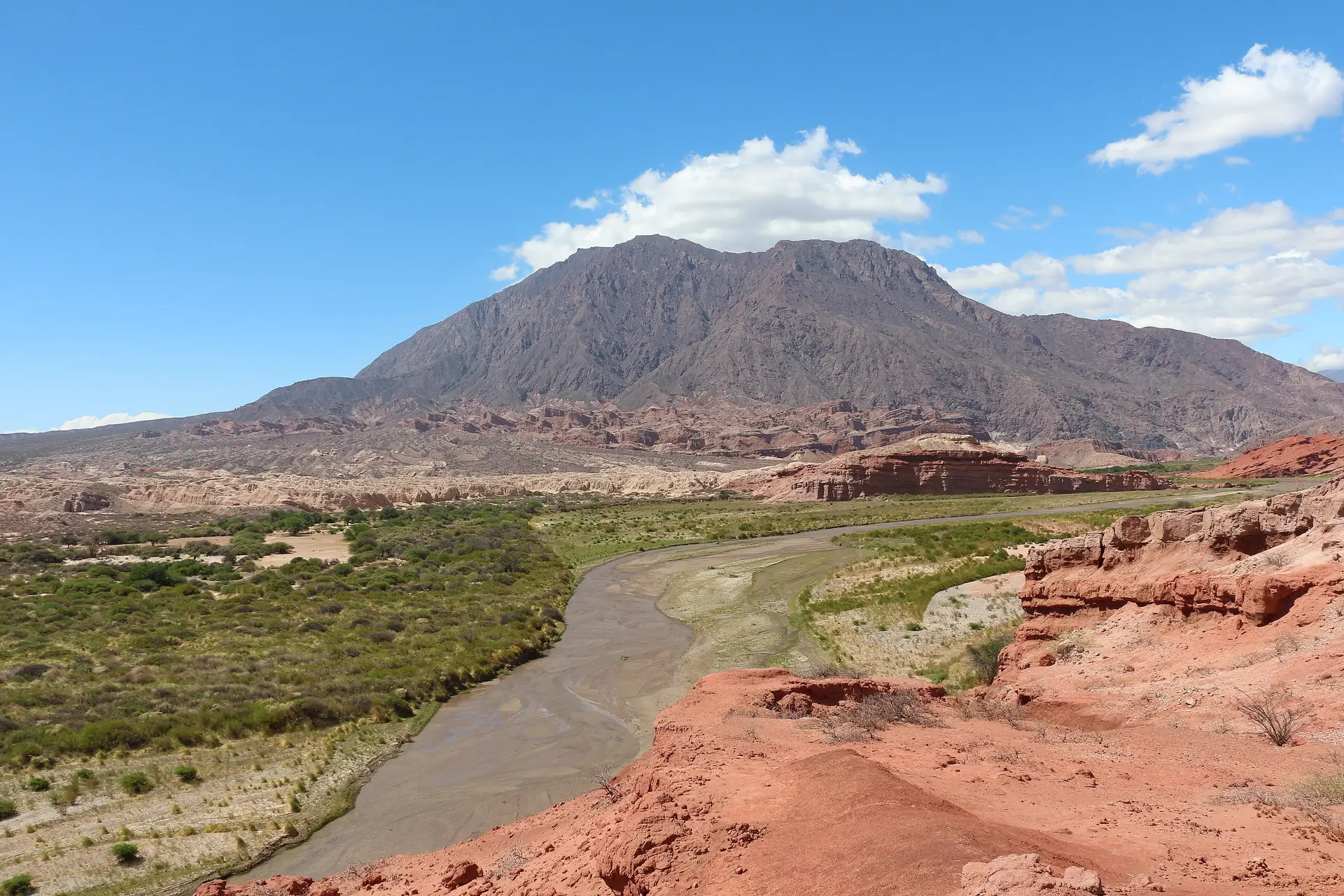
Photo: Bernard Gagnon, CC BY-SA 4.0
Experiences
Tours for this trip
 Likely to sell outViator
Nature
2-Day Calchaquí Valley Tour to Cachi and Cafayate
Experience the incredible Calchaquí Valley on this activity-filled overnight tour from Salta that combines stunning natural scenery with Argentine wine. You’ll enjoy a scenic round-trip drive to the towns of Cachi and…
Full day · 48 h · Salta, Cafayate, Cachi
From US$461
5.0 out of 5 (1)
 Free cancellationViator
Culture
Quebrada de Humahuaca From Salta with Purmamarca
Discover the beautiful landscapes offered by the Quebrada de Humahuaca, with its picturesque villages, culture and ancestral history. The various colors, mountains and hills. The native fauna, the warmth of its people,…
Full day · 12 h · Salta, Humahuaca, Purmamarca
From US$56
4.9 out of 5 (130)
 Free cancellationPrivate tourViator
Culture · Nature
Tour of the Cafayate and Cachi Valleys in 1 Day
The so-called “Vuelta a Los Valles” is a unique walk in which the Valleys are almost entirely covered Calchaquíes, passing through all the villages previously named, knowing their attractions, histories…
Full day · 14 h · Salta, Cafayate, Cachi
From US$599
5.0 out of 5 (10)
Between Salta and Cafayate, Ruta 40 runs about 400 km down the Calchaquí Valleys. Almost nobody drives it in one day, and nobody should. The scenery is the point, and so is the surface: long sections are still ripio, loose gravel that punishes speed.
The shape of the drive
You do not join Ruta 40 in Salta. The city sits east of it. The usual approach is RP 33 west through the Quebrada de Escoipe, over the Cuesta del Obispo — a switchback climb to the Piedra del Molino pass at 3,348 m — and across Los Cardones National Park, where the road runs dead straight through a forest of candelabra cactus. You meet Ruta 40 at Payogasta, just north of Cachi.
Allow four hours from Salta to Cachi. It is 160 km, but the Cuesta is slow, often single-lane in practice, and worth stopping on.
Cachi to Angastaco
South of Cachi the pavement ends and the valley narrows. Seclantás is the weaving town; its ponchos salteños are woven on looms you can watch. Molinos has a seventeenth-century adobe church and the last reliable mechanic for a while.
Between Angastaco and San Carlos the road threads the Quebrada de las Flechas, where tilted grey rock slabs stand on end beside the road like fins. This is the most dramatic hour of the whole stretch and the one most likely to slow you to 30 km/h.
Into Cafayate
After San Carlos the road is paved again and the valley opens into vineyards. Cafayate is the only town on the route with a proper range of hotels, restaurants and fuel.
Most people return to Salta north on RN 68 through the Quebrada de las Conchas, a red sandstone gorge with the Garganta del Diablo and the Anfiteatro signposted off the road. Driven northbound in the late afternoon, the light does the work for you.
Practicalities
- Fuel. Fill up in Salta and again in Cachi. Between Cachi and Cafayate there is no dependable petrol station.
- Vehicle. A normal car manages the route in dry weather. Clearance helps on the gravel; a 4×4 is not required.
- Season. January and February bring summer storms and river crossings that can close the gravel for a day. May to October is dry and cold at night.
- Phone signal. Intermittent between Molinos and San Carlos. Download maps before leaving.


