Story
The Quebrada de las Flechas
An hour of tilted grey rock between Angastaco and San Carlos — the strangest landscape on Ruta 40 and how to drive and photograph it.
By Visit NOA Editors ·
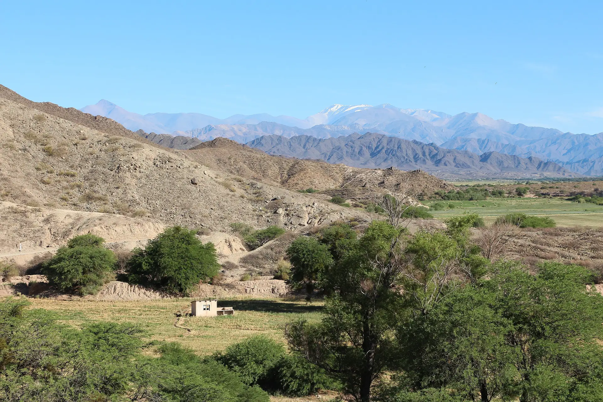
Photo: Bernard Gagnon, CC BY-SA 4.0
Experiences
Tours for this trip
 Likely to sell outViator
Nature
2-Day Calchaquí Valley Tour to Cachi and Cafayate
Experience the incredible Calchaquí Valley on this activity-filled overnight tour from Salta that combines stunning natural scenery with Argentine wine. You’ll enjoy a scenic round-trip drive to the towns of Cachi and…
Full day · 48 h · Salta, Cafayate, Cachi
From US$461
5.0 out of 5 (1)
 Free cancellationPrivate tourViator
Culture · Nature
Tour of the Cafayate and Cachi Valleys in 1 Day
The so-called “Vuelta a Los Valles” is a unique walk in which the Valleys are almost entirely covered Calchaquíes, passing through all the villages previously named, knowing their attractions, histories…
Full day · 14 h · Salta, Cafayate, Cachi
From US$599
5.0 out of 5 (10)
 Private tourViator
Culture · Gastronomy · Nature
Unveiling Cafayate: Premium Wine Road Adventure
This excursion is a tour to 2 wineries of Cafayate that are positioned as one of the best of the Calchaqui Valley. There are 2 different options available. This tour could be to San Pedro de Yacochuya and Piattelli…
6 h · Cafayate
From US$116
5.0 out of 5 (2)
Thirty kilometres of Ruta 40 between Angastaco and San Carlos run through something that does not look like road scenery at all. Sandstone beds that were laid down flat have been tilted almost vertical by the rise of the Andes, then eroded into grey and white fins that point at the sky. The name — Valley of the Arrows — is literal.
What you actually see
The road is gravel and it runs below the formations rather than around them, so the fins close in on both sides. At the Quebrada de las Flechas natural monument there is a marked viewpoint and a short walk up onto a saddle, which is the only way to get a sense of the scale: from the car the rock reads as a wall, from above it reads as a field of blades running for kilometres.
The colour is not red here, as it is in the Quebrada de las Conchas further east. It is grey, bone and pale ochre, and it changes very little through the day — which makes this one of the few landscapes in the Northwest that photographs well at midday, when the shadows between the fins are at their sharpest.
Driving it
Allow an hour and a half for thirty kilometres, more if you stop. The surface is corrugated gravel with sandy patches, and there are several dry river crossings that fill fast in summer storms. A normal car is fine in dry weather; after rain, ask in Angastaco before setting off.
There is no fuel, no signal and almost no traffic. Carry water.
Stopping points
- The signed viewpoint inside the natural monument, with the walk up to the saddle.
- Angastaco, at the northern end: a small adobe village with a bodega and a plaza, and the last beds before Cafayate if you want to split the drive.
- San Carlos, at the southern end, where the pavement resumes and Cafayate is twenty minutes away.
Where it sits in a trip
The Quebrada de las Flechas is the middle of the Salta–Cachi–Cafayate run, and it is the reason to take the gravel rather than the paved RN 68 in both directions. Most people drive it north to south, finishing in Cafayate for the evening, and return to Salta through the Quebrada de las Conchas the next day. Doing both gorges in opposite directions on consecutive days is the best twenty-four hours of driving in the region.


